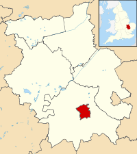
Oxford in Oxfordshire, England Map - Contains Ordnance Survey data © Crown copyright and database right
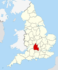
The historic city of Oxford is located in county of Oxfordshire the southern England approx one hour from London. The compact city is known for its historic buildings and is home to the world renowned Oxford University. There is a relaxed atmosphere in the city that has a thriving arts and culture scene and much of the city can be explored by foot, where visitors can walk exploring the various attractions and places of interest. Oxford is a university city and the administrative and cultural centre for the county of Oxfordshire with locals known as Oxonians. Oxford attracts many visitors each year from the UK and internationally, the city is home to a number of historic sites and various colleges in Oxford University, the location makes it convenient to visit from London, the north and south of England.
Oxford Quick Facts
Population: 153,700
Region: South East England
Area total: 45.59 sq km
Languages: English
Demonym: Oxonian
Dialling Code: 01865
Postcode Area OX
Closest Airports: London Stansted and London Luton Airports.
Football Clubs: Oxford United and Oxford City.
Local Food: Oxford Sausages, Banbury Cake, Oxford Pudding, Spiced Oxford Cake, fish and chips & a wide choice of world foods.
Nearest Towns & Cities: Bury St Edmunds, Ely, Milton Keynes, and Northampton.
Famous Attractions: Oxford University, Fitzwilliam Museum, Primavera, Oxford University Botanic Gardens, Wimpole Hall and the Church of Great St Mary’s.
Disclaimer: The information given in on this website is given in good faith and to the best of our knowledge. If there are any discrepancies in no way do we intend to mislead. Important travel details and arrangements should be confirmed and verified with the relevant authorities.